Kauai Map
October 6, 2013For two years the silpi team in India has been quietly working on a small project, a granite map of the island which visitors can explore and enjoy. The top section was uncrated yesterday and placed temporarily in Siva's Sacred Garden. It's quite heavy and took three strong monks to lift into place.
The base is completed, and will be shipped in January, so meantime a simple block of stone was found to provide support for the months ahead. The 3-D terrain is not to scale. If it were scaled properly, the tallest peak of mount Waialaale would be only one inch tall. So, we intentionally had it exaggerated, five hundred percent, making the peak five inches high on this model.
It has been placed amidst the plants out near the flagpole where visitors gather. They will be able to see just where the temple is on the map, and look above the temple to see the top of Mount Waialeale.
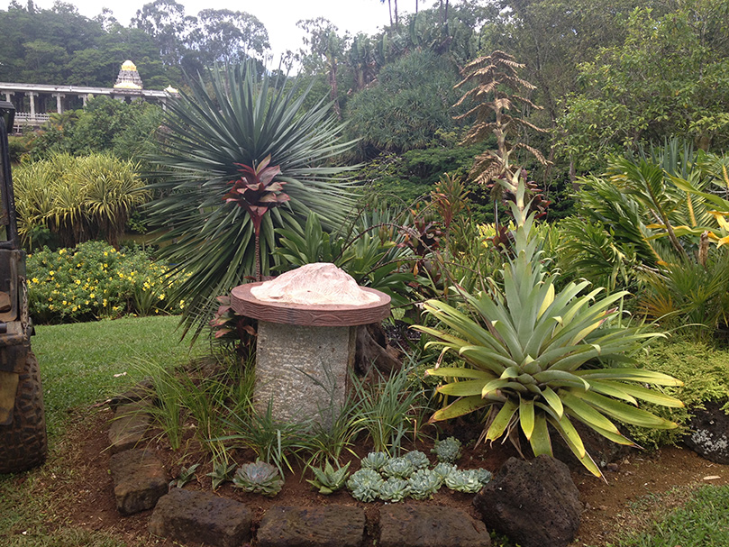
The rose-colored map of Kauai in its temporary home.
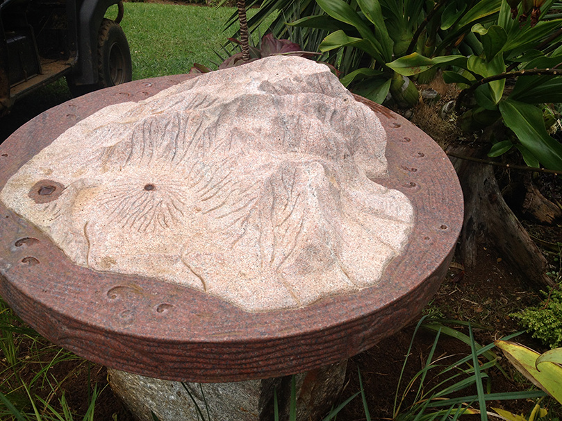
The ocean at the periphery is polished and thus appears darker than the island.
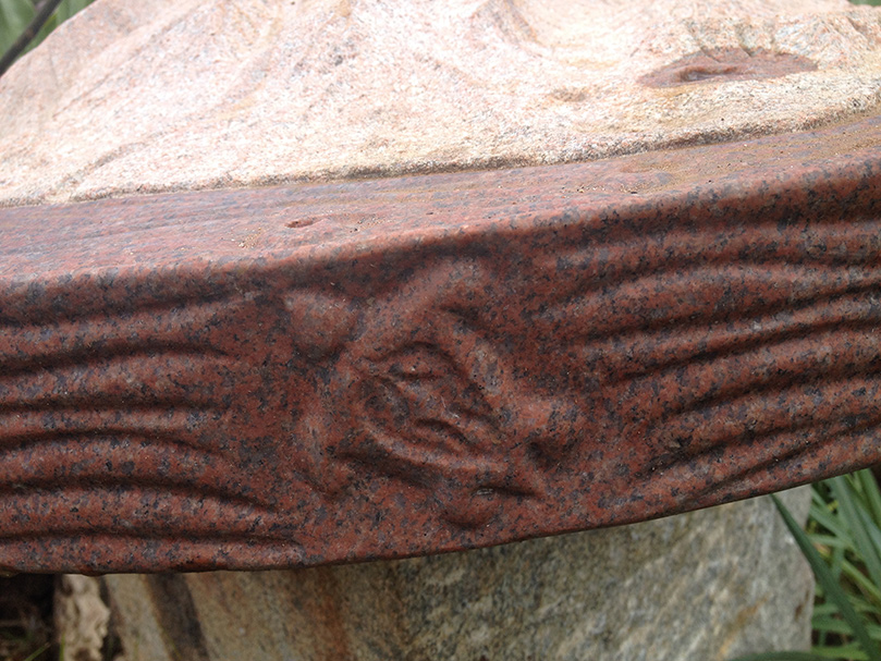
Ocean critters swim in the waters, Green turtles, whales and dolphins.
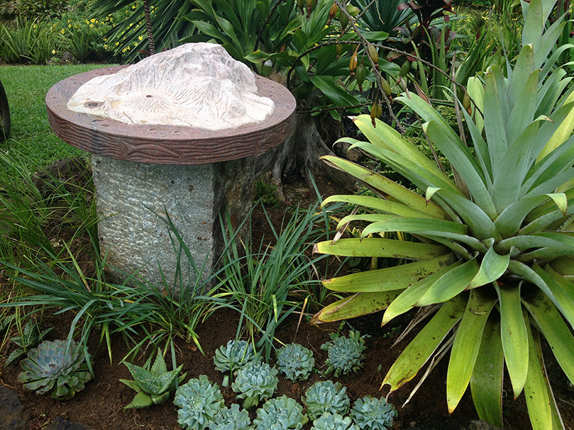
With some fresh landscaping in place.
}
];
transitionSpeed:150});